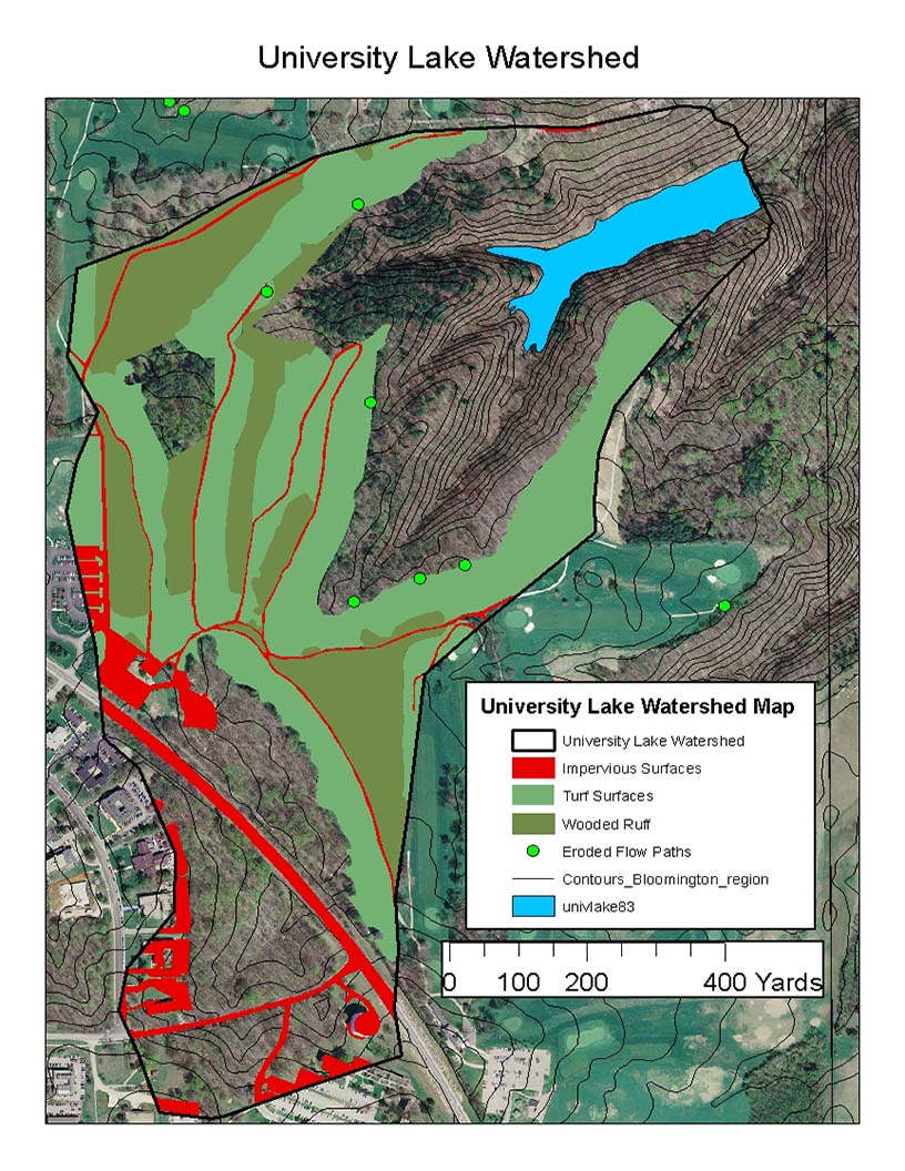
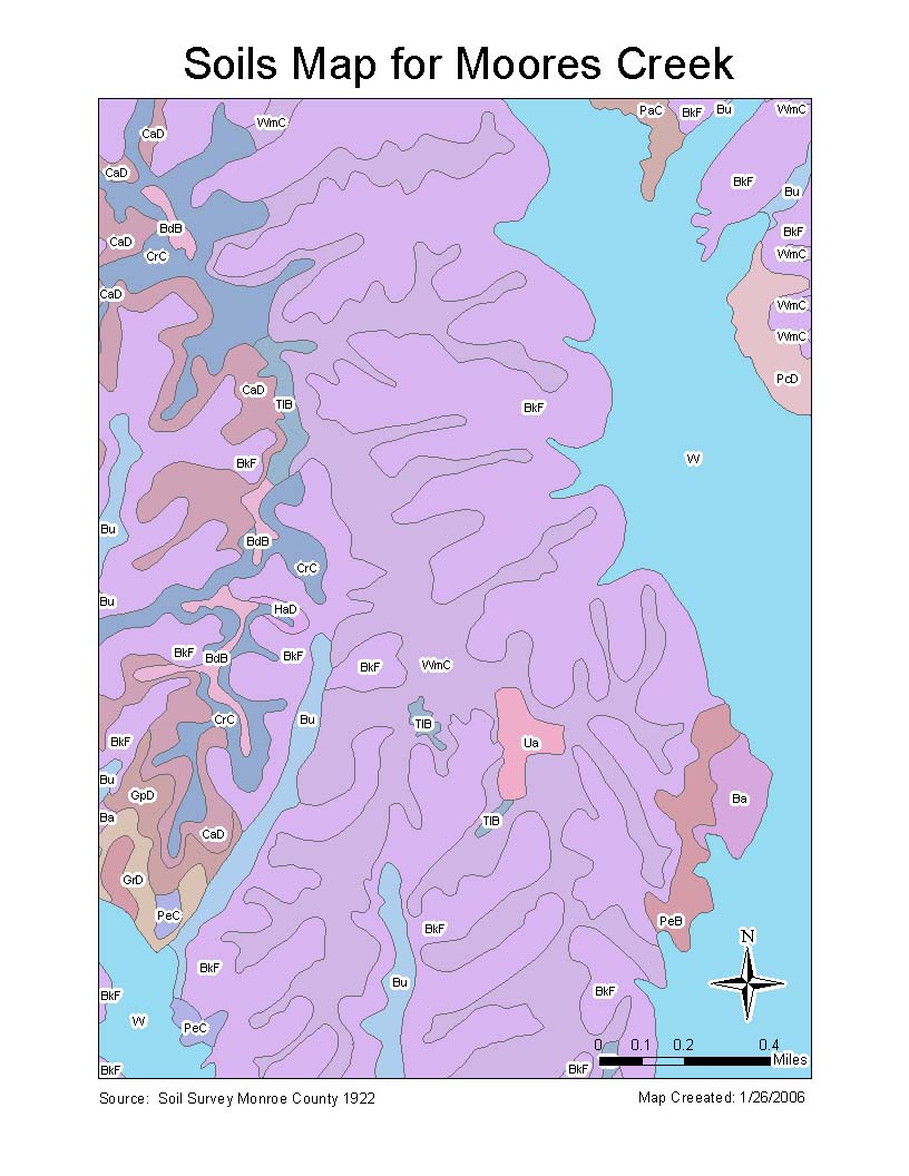
Geographic Information Systems (GIS) data is data used for the analysis, management, and visualization of geographic information. The IU Research & Teaching Preserve (RTP) offers many types of GIS data for your research needs. Examples of maps our GIS data can produce include property boundaries, soil maps, hydrology, and research site locations. If you would like to request a GIS data file or its corresponding metadata (description of the GIS data) for a specific RTP property, please contact us at
Examples of available maps


